
Lgnd AI Seeks $20M for Satellite Intelligence
Lgnd AI is reportedly raising $20M to accelerate analysis of satellite and Earth-observation imagery.
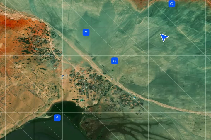
Earth-observation capacity is growing quickly, but turning raw imagery into useful intelligence remains slow.
What happened
Lgnd AI is reportedly raising a $20 million Series A to expand software that analyses satellite and Earth-observation data.
The financing has not been publicly confirmed as closed, so the round should be treated as an active fundraising process rather than a completed transaction.
The company is targeting workflows where analysing geospatial data can otherwise take weeks or months.
Why it matters
More satellites do not automatically create more useful information. The bottleneck increasingly lies in processing, interpreting and combining imagery quickly enough for operational decisions.
AI can help automate object detection, change analysis and large-scale geospatial search across datasets that would be impractical for human analysts to review manually.
The bigger picture
Earth observation is shifting from a hardware market toward a data-and-intelligence market.
As imagery becomes cheaper and more abundant, value may move toward platforms that can turn pixels into decisions for climate, insurance, infrastructure, agriculture and government users.