
Kuva Space Tests AI Crop Detection From Orbit
Kuva Space has tested hyperspectral satellite imagery and AI for identifying suspected illicit crop cultivation.
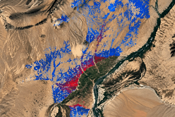
Kuva Space has completed a pilot showing how hyperspectral satellites and AI could turn Earth observation into a more specialised intelligence product.
What happened
The Finnish company worked with a European security stakeholder to analyse suspected opium-poppy cultivation in Afghanistan.
Across the study area, its system mapped 248,889 agricultural fields and classified 8,835 as likely poppy fields. Those flagged fields are model predictions, not individually verified instances of cultivation.
The combined hyperspectral and Sentinel-2 approach reached 75% classification accuracy, compared with 71% using Sentinel-2 alone.
Why it matters
Traditional optical satellite imagery mainly captures how objects look. Hyperspectral sensors measure many more wavelengths and can potentially distinguish materials or biological characteristics that ordinary imagery misses.
That makes the technology useful for applications ranging from agriculture and environmental monitoring to security and industrial intelligence.
The bigger picture
Earth-observation startups are increasingly trying to sell analysis rather than raw imagery. The more valuable business may be extracting specific answers from satellite data for governments and companies. Kuva's pilot illustrates how specialised sensors combined with AI could move satellite companies further up that value chain.